
PSC’s Cray T3D Stretched Warning from Half an Hour to Six Hours, Fine Tuning Prediction to Cover Local Storms
In 1995, severe-weather predictions could only give about half an hour’s warning. That’s not much of a heads-up for travelers on the road, airports shuffling large aircraft, or emergency services. That year, a team from the University of Oklahoma used PSC’s NSF-funded Cray T3D supercomputing system to shrink the scale of their predictions to local weather events and expand the warning time to six hours.

PSC40: Powering Discovery
2026 marks 40 years of PSC. As we continue on with cutting-edge innovation, we look back on four decades of history in computing, education, and groundbreaking research—and the people who made it happen.
WHY IT’S IMPORTANT
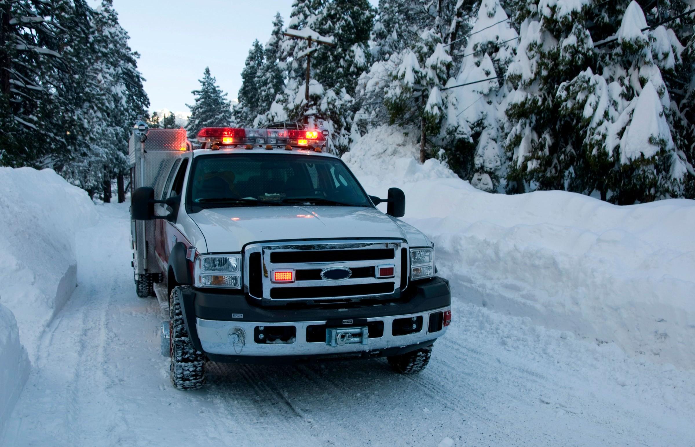
On Jan. 25, 2026, members of the Harmony Fire District, in Butler County, Pa., spent the day in their main fire house. This wasn’t a normal Sunday — usually most of the rural service’s volunteers would be at home, ready for a callout on their pagers but spending the day with their families.
This Sunday was special, though. For the better part of a week, the National Weather Service, local governments, and the media had been hammering home the prediction that a major snowstorm was coming through late Sunday. So the Harmony volunteers sat in their station, at heightened readiness for a rapid response, and awaited mayhem.
The snow came. But not the mayhem.
As the day stretched out, the firefighters heard some ambulance calls for people who’d over-done it on snow shoveling. But the kinds of interstate pileups, chimney fires, and other catastrophic events you’d expect when a major storm hit never came. It turned out that all those warnings had done their job. People had prepared themselves for the storm, planned not to travel during it, and avoided disaster.
Harmony’s experience during the storm may have been a little better than some emergency response services’. But it wasn’t unusual. Accurate weather predictions had, over a large part of the U.S., saved vast amounts of property damage — and who knows how many human lives.
In 1995, the state of the prediction art wasn’t so developed. Typically, a violent weather front could be predicted only about a half-hour into the future. That’s short enough that plenty of travelers will be caught on the road. Airports won’t have time to clear their tarmac of vulnerable aircraft. Emergency services will be at whatever posture is normal, with no appreciable warning time to rev up.
Kelvin Droegemeier, then director of the Center for Analysis and Prediction of Storms (CAPS) at the University of Oklahoma, wanted to do better. He reasoned that, if he could split the elements of his team’s computer predictions into small enough bits, the larger model would become precise enough to predict at smaller geographic scales and longer time scales. To run this simulation, massive by the standards of the time, he picked PSC’s Cray T3D supercomputer.
HOW PSC HELPED
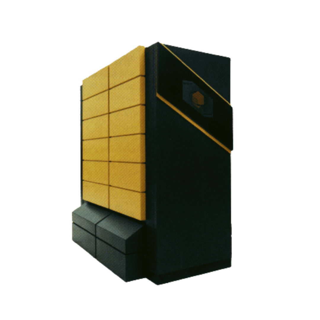
The T3D represented a new concept in high performance computing. It was unique for its time in two ways. First, it was the Cray company’s first attempt at a massively parallel supercomputer. PSC’s T3D had 512 parallel elements for computation, with another 64 handling system functions and linking with PSC’s then-flagship Cray C90. Importantly, and unlike the C90, it didn’t have supercharged processors. Instead, it featured many relatively small processors. It focused on problems that could be split into small parts. That’s a mainstay of today’s high performance computing, but was new at the time.
The other innovation behind the T3D was that it was designed to operate in tandem with the C90. Thanks in part to PSC’s earlier work on heterogeneous supercomputing, the T3D was meant to carry out many small computations in partnership with the C90’s powerful, big-computation processors. By routing work between the two computers so that the parts that could be solved in little pieces in parallel went to the T3D, and the big chonks went to the C90, the tandem system could make short work of otherwise complex problems.
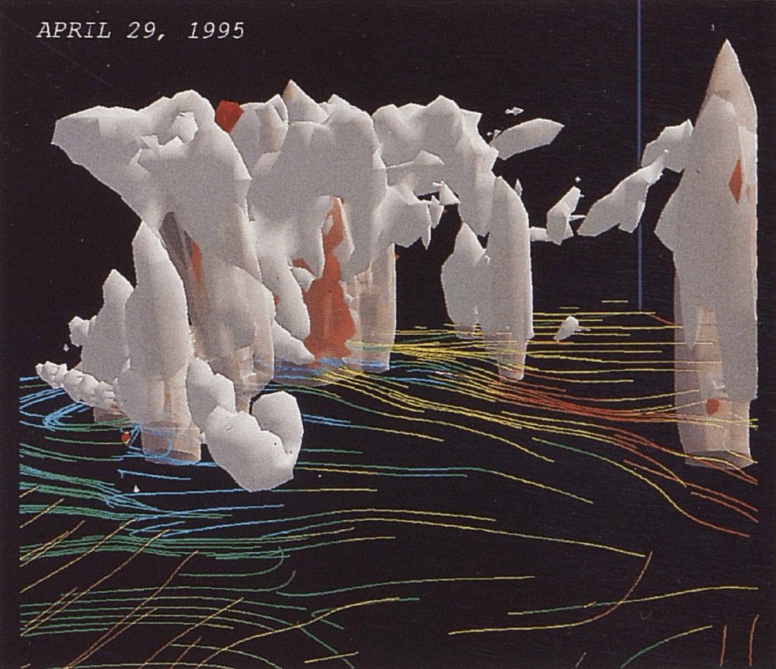
Droegemeier’s weather predictions were a perfect case for the T3D. By splitting the problem into much smaller pieces, the CAPS team was able to focus their simulation on smaller areas of a few miles square, as well as in 15-minute time chunks. At 1 p.m. on June 8, 1995, the system was able to predict individual real-world storms in the Kansas, Oklahoma, and Texas tristate areas that hit at 7 p.m. that evening. They’d expanded their prediction time, with good accuracy, from 30 minutes to 6 hours. With that kind of warning time, all sorts of preparations became possible.
So did an unexpectedly slow day for a rural fire service.